Our Services
Below is a general scope of our services and what we do.
If you are unsure whether we can help, do not hesitate to get in contact with us.
Construction & Groundworks

-
Site setting out (buildings, roads, drainage, retaining walls, foundations, reinforced concrete elements, HD bolts)
-
Drainage (incl. S38 works)
-
Road construction and kerbs (incl. S278 works)
-
Gridline establishment
-
QA checks
-
As-built records for sign-off or payment
-
Machine control support (modelling)
-
Accurate boundary positions
Architects & Designers

-
Topographical surveys for design base
-
Measured building surveys
-
Site level data to inform planning authorities and to comply with Building Regulations
Property Developers

-
Setting out new plots, roads and drainage
-
Site control and QA
-
Boundary marking and confirmation
-
Plot plan overlays to match legal drawings
-
As-built records to satisfy NHBC and warranty providers
Farms & Estates
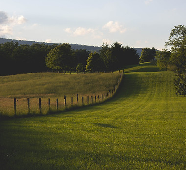
-
Boundary surveys for land registration
-
Mapping for diversification (glamping, solar, access tracks)
-
Stockpile and volume measurements
-
Drainage surveys and land falls
Renewables (Solar, Wind, EV Infrastructure)

-
Site surveys and terrain models
-
Cable trenching and setting out
-
Positioning of solar panels, battery units
-
QA checks on installation
Land/Topographical Survey

-
Accurate boundary positions
-
Levels and contours
-
Locations of trees, features, services
-
Basis for architectural or planning drawings
Boundary Check or Dispute Resolution

-
Clarifying title plans against real world positions
-
Producing reports for legal process
-
Helping settle disputes with neighbours
Volume/Area Calculations

-
Cut/fill analysis
-
Stockpile volumes
As-Built Survey

-
Drainage as-builts
-
Service as-laids
-
Slab level survey
-
Position checks with drawing overlays